
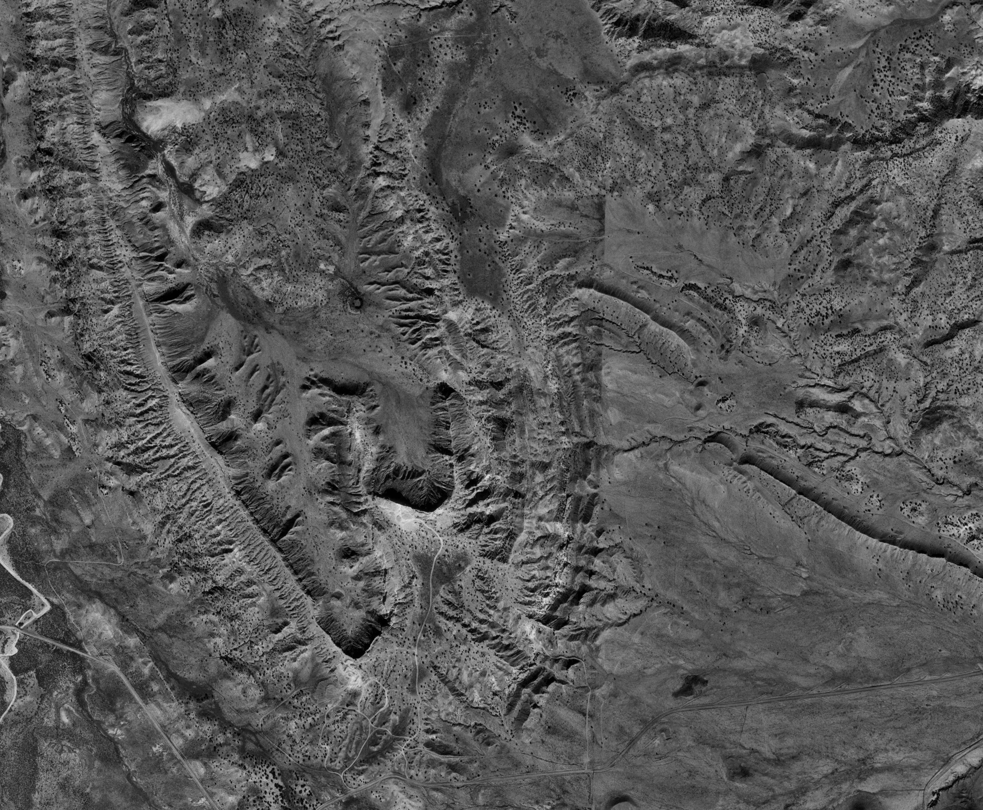
Remote sensing is very useful to mapmakers and geographers. This website from Montana State University shows an example of a black and white aerial photograph taken of San Ysidro, New Mexico. A camera is mounted on an airplane as it flies over an area the camera collects data. The human eye catches on the varying shades of grey and our minds automatically equate darker shades with depth and lighter shades with elevation. Those with the right training can analyze a black and white aerial photograph to determine what objects might be on the ground.
No comments:
Post a Comment